The last 3 hikes I’ve done don’t exist on AllTrails.
-
The last 3 hikes I’ve done don’t exist on AllTrails. No one talks about them. And they’ve all been utterly AMAZING and devoid of any people!
This is the way.
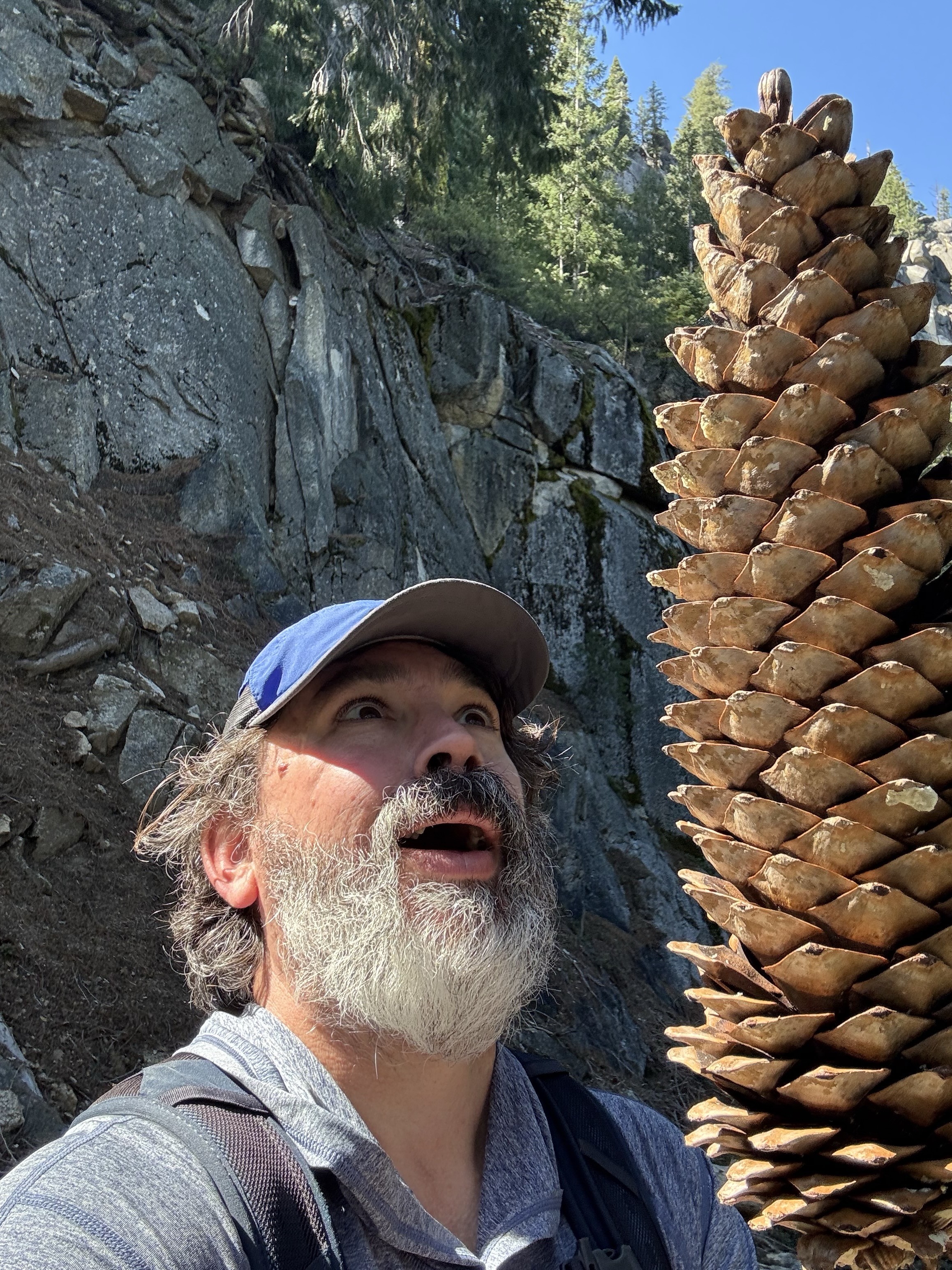
Kinda makes me feel like this:
-
The last 3 hikes I’ve done don’t exist on AllTrails. No one talks about them. And they’ve all been utterly AMAZING and devoid of any people!
This is the way.
Kinda makes me feel like this:
@killyourfm Wow, that's a large pinecone! Is it really bigger than your head or does it look like that due to perspective?
-
The last 3 hikes I’ve done don’t exist on AllTrails. No one talks about them. And they’ve all been utterly AMAZING and devoid of any people!
This is the way.
Kinda makes me feel like this:
What's your packing list these days? Do you have a blog post on it? Cheers from Austria
")
-
The last 3 hikes I’ve done don’t exist on AllTrails. No one talks about them. And they’ve all been utterly AMAZING and devoid of any people!
This is the way.
Kinda makes me feel like this:
I'm not really an AllTrails fan. I downloaded it quite a while back looking for info on a hiking area when we were out of town.
My suggestions are:
CalTopo / SarTopo
CoMapsBoth apps offer
Ability to access maps when outside of cell service
(CalTopo requires caching the map ahead of time; at one time, it didn't allow all map sources to be cached)
Record a track
Drop a "pin" or marker on the mapCalTopo is more complex. I like the scanned USGS and Forest Service layers.
CoMaps is simpler and uses a version of OpenStreetMap for the map layer
Enjoy your time outdoors!
-
I'm not really an AllTrails fan. I downloaded it quite a while back looking for info on a hiking area when we were out of town.
My suggestions are:
CalTopo / SarTopo
CoMapsBoth apps offer
Ability to access maps when outside of cell service
(CalTopo requires caching the map ahead of time; at one time, it didn't allow all map sources to be cached)
Record a track
Drop a "pin" or marker on the mapCalTopo is more complex. I like the scanned USGS and Forest Service layers.
CoMaps is simpler and uses a version of OpenStreetMap for the map layer
Enjoy your time outdoors!
@thomasb @killyourfm Big fan of caltopo here. For some hikes I've used it to export PDFs and had them printed at very high resolution. Was super cool to have that level of detail in the field.
-
R relay@relay.infosec.exchange shared this topic